Hanna Surveying and Engineering provides all land surveying services for engineers, architects, developers, municipalities, governmental agencies and private property owners.
LIDAR AERIAL SURVEYING OVERVIEW
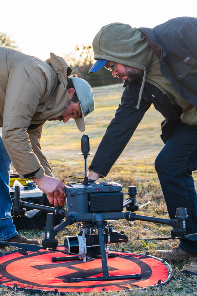
Hanna Surveying and Engineering provides aerial drone LiDAR surveying services. This type of surveying requires extensive knowledge in control and ground point vertification to ensure the quality of measurements taken. Our technology allows us to gather topographical data of heavily vegetated and wooded areas saving our cleints considerable time and money compared to conventional surveying methods.